The other day I drove from the tip of Michigan’s Lower Peninsula to Marquette in the Upper Peninsula.
It was about a three-and-a-half-hour drive through the wilderness. It’s not a terribly confusing trip — there’s about nine turns total, and I’ve made it many times. So I didn’t bother to summon my usual co-pilot — the always reliable Google Maps.
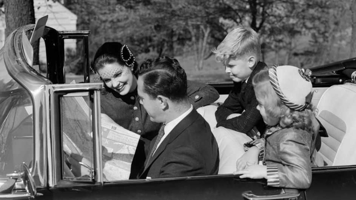
When I was a kid, my parents drove us from Michigan to California using a paper map. It probably took a little longer, with a much vaguer ETA.
No phone attached to the dashboard barking commands at me. No little cartoon avatar of my vehicle to look at.
And a funny thing happened. Time passed more quickly. The drive felt easier. I was less anxious. I had a
Continue reading
Join the conversation!
Please share your thoughts about this article below. We value your opinions, and would love to see you add to the discussion!